Implemented by the European Commission as part of the Copernicus Programme
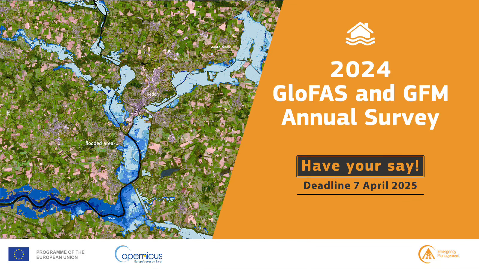
The 2024 CEMS Global Flood Awareness System (GloFAS) and the Global Flood Monitoring (GFM) annual survey was conducted in March-April 2025 for the reference year 2024.
The results of the survey are reported in the attached document.
Although the results indicate a high satisfaction with GloFAS and GFM service and products, there are opportunities for improvement, and several follow-up actions have been planned. These actions are listed below, and they have been classified as continued, short-term, or long-term actions. Continued actions are ongoing service developments and improvements whereas short-term actions are expected to be completed in 1 year. A timeline for the operational implementation of long-term actions has not yet been defined, but CEMS-Flood will share more precise information as soon as it becomes available. The actions are summarized below; please click on the hyperlinks for detailed descriptions of the planned actions.
Continued actions
Short-term actions
Long-term actions
Find out more about GloFAS-GFM Continued actions, Short-term actions, Long-term actions .
The 2024 CEMS Global Flood Awareness System (GloFAS) and the Global Flood Monitoring (GFM) annual survey was conducted in March-April 2025 for the reference year 2024.
The results of the survey are reported in the attached document.
Albeit the results indicate a high satisfaction with GloFAS and GFM service and products, there are opportunities for improvement, and several follow-up actions have been planned. These actions are listed below and they have been classified as continued, short-, or long-term actions. Continued actions are ongoing service developments and improvements; short-term actions are expected to be completed in 1 year; a calendar for the operational implementation of long-term actions has not yet been defined: CEMS-Flood will share more precise information as soon as they become available. The actions are listed in the table below, please scroll down the page to find more detailed informaton on each point.
Continued actions |
Improving GloFAS forecasts and GFM monitoring accuracy Provision of trainings on the use of CEMS GloFAS and GFM for operational purposes |
Short-term actions |
Improvements to the online documentation |
Long-term actions |
Possibility to download time series from the GloFAS map viewer AI driven chatbot to obtain quick answers in different languages Cross-comparison of historical flood extent with forecasted conditions Integration of coastal floods into GloFAS |
Continued actions
|
Improving GloFAS forecasts and GFM monitoring accuracy |
CEMS-Flood constantly strives to enhance GloFAS and GFM accuracy for the global domain. Improvements to the set-up and calibration of the OS LISFLOOD hydrological model at the core of GloFAS forecasts contribute to more accurate and timelier forecast. The hydrological model is calibrated using in-situ observation of discharge data, contributions from GloFAS users is crucial to expand the hydrological dataset, and eventually improve service quality: https://confluence.ecmwf.int/display/CEMS/Share+your+data+with+GloFAS The improvements included in GloFASv5.x (expected by the end on 2025) are explained in this presentation (recordings available from here). Similarly, continued work on the interpretation algorithms and on their combination strategy lead to more accurate GFM products. The recent GFMv4 operational release included several major improvements, as described in this presentation (recordings available from here). Forecast errors and monitoring errors reported by GloFAS and GFM users trigger internal analysis to identify causes and possible corrections in the operational set-up: users feedback is therefore highly valuable and it can be submitted via the contact form. |
|
Provision of trainings on the use of CEMS GloFAS and GFM for operational purposes |
Requests for trainings can be submitted via the contact form. CEMS-Flood team will contact the users to assess feasibility, modalities, and timeline of the training. Training material is also available in the form of pre-recorded webinars (currently available in English and French) |
Understanding of GloFAS and GFM protocols and methodology, and awareness of all available opportunities (e.g. data download) are necessary for the adequate use of forecast and monitoring products: providing clear and comprehensive documentation is therefore part of CEMS-Flood service.
The available online documentation includes the GloFAS web page, the GloFAS wiki and User Guide, the CEMS-Flood Data User Guide, the GFM wiki (which also includes the GFM Quick Start User Guide). This richness of online resources has developed over time, and some effort can be required to find the desired information: CEMS-Flood is working to streamline and improve the usability of online documentation.
The identified short-term action entails the revision of selected pages of the online documentation, to incorporate answers to the most frequent questions and doubts raised by users.
The questions collected through the survey are replied to in detail below, but the GFM and GloFAS online documentation will be updated accordingly as well, e.g. the GloFAS User Guide including the FAQ.
|
Products visualization and data access |
Some users reported very specific issues they experienced, e.g. that the GFM web-viewer is not loading, or issues with the data download. In the context of the annual survey it is difficult to provide an exhaustive answer as the necessary details for the specific cases are missing. Should a user experience issues with the service, valid for both GFM and GloFAS, the fastest way to get help is to report the issue using the contact form, which is monitored on working days. Regarding issues with the GFM data download, the GFM Quick Start Guide provides detailed and step-by-step instructions for the different ways to download and work with GFM data. For GloFAS, the CEMS-Flood Data User Guide collects instructions for the different ways of GloFAS data download. |
|
Integrating local observations into GloFAS |
Some users requested the possibility to integrate local observations into the modelling system to improve the quality of the forecasts. GloFAS users are encouraged to share discharge observations that can be used to calibrate and validate the hydrological model OS LISFLOOD, which is used in GloFAS. Moreover, users can request “fixed reporting points” that allow the monitoring of the forecasted hydrological situation at their points of interest on a daily basis. The current GloFAS operational protocol does not include post-processed hydrological forecasts using local observations. However, users can integrate the GloFAS real-time forecasts into their own local systems (and set-up their own post-processing protocols). The CEMS-Flood Data User Guide provides the necessary information on how to correctly identify locations on the GloFAS drainage network and retrieve the forecasts.
|
|
Tutorials on the use of GloFAS and GFM data |
Users expressed their interest in tutorials or Jupyter Notebook examples for working with GloFAS/GFM data in Python or QGIS. Both the GloFAS and GFM online documentation contain extensive and detailed descriptions of the different ways of handling and using the data produced. For GFM, the Quick Start Guide provides step-by-step instructions as an easy access. The more advanced users can make use of Jupyter notebooks for working with the GFM STAC catalogue. The CEMS-Flood Data User Guide is the primary source for information on GloFAS data download and usage. Particularly the section Working with CEMS-Flood Data contains detailed instructions including code snippets that can be used and modified by the GloFAS users. Furthermore, the Early Warning Data Store contains data tutorials and open-source tools simplifying data access (under the tab TRAINING). |
|
Provision of relevant information to understand the hydrological forecasts |
Some users expressed interest in the provision of more granular information on meteorological conditions in the forecasts It is assumed the request concerns the layers shown under the Meteorological products menu in the GloFAS Map viewer. Indeed, most of them show the accumulated 10-day precipitation. However, the Rain Animation layer provides an animation of the daily precipitation (mean of the ECMWF ensemble forecast) for the first 10 days of the forecast horizon. In addition, the pop-up window of the Reporting Points from the Hydrological menu presents the daily evolution of precipitation, snowmelt and temperature as point information for the past 5 days and first 15 days of the forecast. |
Long-term actions
|
Possibility to download time series from the GloFAS map viewer |
Users will be able to download forecast time series (e.g. in csv format) for the reporting points of their interest. |
|
AI driven chatbot to obtain quick answers in different languages |
As mentioned above, GloFAS and GFM provide a wealth of online material: documentation, user guides, tutorials. Improving these resources in terms of clarity, easiness of access, and completeness is a continuous and crucial task. Questions and specific feedback from the users are essential to identify opportunities for improvement and errors. However, setting up and maintaining such a large amount of information in several languages is not feasible, with the risk of inducing misunderstandings and misuse of GloFAS and GFM products and data. However, CEMS-Flood team acknowledge the advantage of accessing information in different languages, especially under time pressure. For this reason, the provision of an AI driven chatbot capable of delivering answers in different languages has been classified as a medium-term development. More specifically, the Copernicus Land Monitoring Service has set up an AI chatbot, Copernicus Observia, which will provide information also about other Copernicus services such as CEMS and its tools (e.g. GloFAS, GFM). The chatbot is already accessible but it should be noted that this is a beta version and several improvements will still be added in the future. |
|
Cross-comparison of historical flood extent with forecasted conditions |
GFM Sentinel-1 data cube offers information on historical flood extents. This product, combined with the availability of GloFAS forecast can support the analysis by users. Tools for direct cross-comparison of historical flood extent with forecasted conditions are currently not available. Nevertheless, CEMS-Flood agrees on the relevance of this analysis, work for this purpose is planned as a long-term development. |
|
Integration of coastal floods into GloFAS |
CEMS-Floods is aware and agrees on the importance of this major development. |
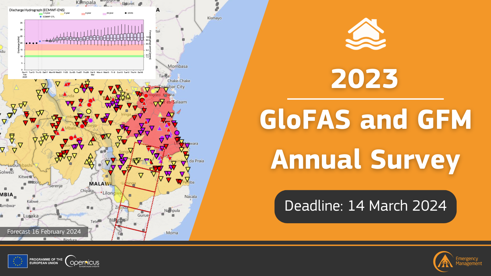
The 2023 Annual Survey was the second survey to include feedback for both the CEMS Global Flood Awareness System (GloFAS) and the Global Flood Monitoring (GFM). The survey was conducted in February-March 2024 for the reference year 2023.
The results of the survey can be found in the attached document; a short summary of the main outcomes with specific focus on the action items is presented below.
Overall, the results indicate that there is high satisfaction with GloFAS and GFM service and products. However, there are opportunities for improvement, and several follow-up actions have been planned to enhance users’ experience. The opportunities for improvement are numbered below, and additional information regarding each point is provided in the next section: this page can be used to monitor planned and completed actions.
Planned actions (medium term, i.e. within 1 year):
(1) Work is in progress to improve the rendering time of the layers.
(2) Investigate the feasibility to include an official country borders layer.
(5) Review of the GloFAS data page to list the already available training material.
(7) Release of the STAC catalogue for download of large amounts of GFM data.
(8) The button “Monitoring Wiki” (e.g. https://global-flood.emergency.copernicus.eu/) will be replaced by “GFM Wiki” for enhanced readability.
(9) Continued review of the FAQ section of the CEMS GloFAS User Guide and continued improvement of the internal protocol to respond to the requests submitted via the GloFAS and GFM Contact Form.
(10) A button to access the Contact Us form will be added on top of the GloFAS home page for higher visibility.
(12) Review of GloFAS seasonal products.
Long term developments (> 1 year):
(6b) Development of new data download functionalities, including the possibility to easily retrieve forecasted discharge time series at all fixed reporting points.
Long term developments planned after the 2022 survey:
Completed actions:
(4) Improvements to the visualization of GFM Observed flood extent product in January 2024, and anomaly detection in March 2024.
(6a) To facilitate the use of GloFAS reanalysis data, ECMWF has developed training material in the form of Jupyter notebook.
(11) High resolution flood hazard maps for selected return periods are available for download from this link.
Actions not currently feasible:
(3) Users can customize the transparency of all GloFAS layers, and of all GFM layers. Transparency of single layers cannot be changed individually: the implementation of such a feature would require major technical evolutions and it has not been yet been included in the development plan.
The 2022 Annual Survey was the first survey to include feedback for both the Global Flood Awareness System (GloFAS) and the Global Flood Monitoring (GFM). The survey was conducted in February 2023 for the reference year 2022.
The results of the survey can be found in the attached document; a short summary of the main outcomes with specific focus on the action items is presented below.
Survey participants were generally satisfied with the GloFAS and GFM products, which they could adequately explore via the GloFAS Map Viewer. A few minor adjustments could help to further improve the user experience (e.g., more detailed legends, shortcuts to documentation, a more effective colour palette). For the GloFAS layers, the 2022 survey confirmed the positive response of the previous survey. The level of satisfaction for the GFM layers was equally generally high.
GloFAS and GFM documentation content has been rated as satisfactory. Users’ awareness of GloFAS resources (Forecast Wiki, CEMS Flood Data User Guide, webinars) increased in 2022 thus encouraging a continued communication effort, which must now include the recently published GloFAS User Guide and the extensive GFM documentation (Monitoring Wiki, including the Quick Start Guide). Communication efforts about products and services should focus on GloFAS and GFM data download opportunities.
Regarding future developments, GloFAS users showed high interest in improving the modelling of river routing. For GFM, the users expressed interest in the release of a product capable of estimating the water depth in flooded areas.
The following actions were completed within 1 year since the survey:
The list below enumerates some of the actions that have been planned to acknowledge GloFAS and GFM users’ feedback:
The first Annual Survey was conducted in February 2022 and it gathered the feedback for the year 2021. This survey focused exclusively on the GloFAS service (the Global Flood Monitoring product was released in operation in 2022).
The results of the survey can be found in the attached document; a short summary of the main outcomes with specific focus on the action items is presented below.
The most preferred channel to access GloFAS products is the GloFAS webpage (91% of the responders). On average, 80% of the responders think the GloFAS layers are clearly explained and intuitive. The responders expressed interest in attending webinars, and they would like to receive updates via emails and posts on the GloFAS website. Nevertheless, the survey uncovered the need to improve communication about GloFAS resources (e.g. online documentation), data availability, and upcoming updates, and to facilitate the interactions between the users and the CEMS Floods team.
The following actions were completed within 1 year since the completion of the survey: